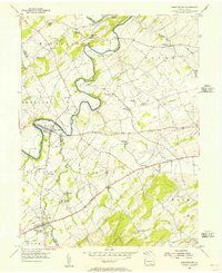
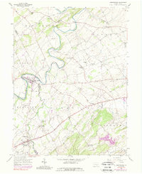
1953 Map of Abbottstown
USGS Topo · Published 1956About this map
Conewago Creek winds through the heart of the Pennsylvania countryside, forming a natural boundary between York and Adams counties in the early 1950s. The landscape is defined by the proximity of the Pigeon Hills to the south and a network of small agricultural settlements connected by the Lincoln Highway 3 Lane. Local social life is anchored by numerous rural congregations such as Mummerts Ch and Bermudian Ch, alongside local education centers like Schaeffer Sch. The Paradise Protectory and the Adams County Fair Grounds serve as significant regional landmarks. To the west, the Reading railroad tracks cut across the terrain near East Berlin, providing a glimpse into the transportation patterns of the mid-century era before the expansion of modern interstates.
Find a feature on this map
38 named features on this map. Tap any name to fly to it.
Don’t see what you’re looking for? This feature index may not catch every label — zoom into the map to look around manually.
Map Details
Editions of this 1953 Abbottstown Map
5 editions found
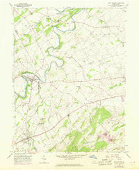
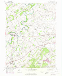
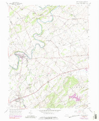
Other maps of this area

1904 · Carlisle
USGS Topo · 1:62,500

1906 · New Cumberland
USGS Topo · 1:62,500

1908 · Gettysburg
USGS Topo · 1:62,500

1920 · Hanover
USGS Topo · 1:62,500

1922 · Hanover
USGS Topo · 1:62,500

1942 · Gettysburg
USGS Topo · 1:125,000

1943 · New Cumberland
USGS Topo · 1:62,500

1943 · Carlisle
USGS Topo · 1:62,500

1944 · Mc Sherrystown
USGS Topo · 1:31,680

1944 · Hampton
USGS Topo · 1:31,680