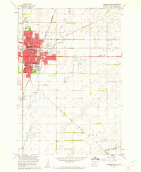
1960 Map of Aberdeen East
USGS Topo · Published 1961About this map
Aberdeen's growing eastern edge is defined by a dense concentration of civic and educational institutions, anchored by the Northern State Teachers College and the S Dak School for the Blind. The 1960 landscape shows the city expanding toward the Aberdeen Municipal Airport, while maintaining established neighborhood centers like Melgaard Park and the County Fairground.
Find a feature on this map
51 named features on this map. Tap any name to fly to it.
Don’t see what you’re looking for? This feature index may not catch every label — zoom into the map to look around manually.
Map Details
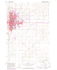
Editions of this 1960 Aberdeen East Map
2 editions found
Other maps of this area

1894 · Columbia
USGS Topo · 1:62,500

1895 · Aberdeen
USGS Topo · 1:125,000

1896 · Columbia
USGS Topo · 1:125,000

1899 · Ellendale
USGS Topo · 1:125,000

1899 · Northville
USGS Topo · 1:125,000

1952 · Columbia
USGS Topo · 1:24,000

1952 · Ordway
USGS Topo · 1:24,000

1953 · Stratford
USGS Topo · 1:24,000

1953 · Warner
USGS Topo · 1:24,000

1954 · Bath
USGS Topo · 1:24,000