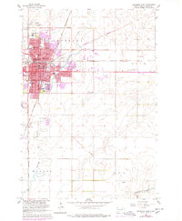
1960 Map of Aberdeen East
USGS Topo · Published 1978About this map
Aberdeen serves as a major hub for the northern plains in this mid-century survey, defined by its intensive rail network and educational institutions. The city core is a tangle of steel and history, where the Chicago Milwaukee St Paul and Pacific and the Burlington Northern intersect near the C M St P & P Sta and the G N Sta. Significant land use is dedicated to social and educational services, including the Northern State Teachers College, the Presentation Heights College, and the specialized S Dak School for the Blind.
Find a feature on this map
51 named features on this map. Tap any name to fly to it.
Don’t see what you’re looking for? This feature index may not catch every label — zoom into the map to look around manually.
Map Details
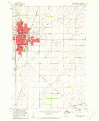
Editions of this 1960 Aberdeen East Map
2 editions found
Other maps of this area

1894 · Columbia
USGS Topo · 1:62,500

1895 · Aberdeen
USGS Topo · 1:125,000

1896 · Columbia
USGS Topo · 1:125,000

1899 · Ellendale
USGS Topo · 1:125,000

1899 · Northville
USGS Topo · 1:125,000

1952 · Columbia
USGS Topo · 1:24,000

1952 · Ordway
USGS Topo · 1:24,000

1953 · Stratford
USGS Topo · 1:24,000

1953 · Warner
USGS Topo · 1:24,000

1954 · Bath
USGS Topo · 1:24,000