
1960 Map of Aberdeen West
USGS Topo · Published 1961About this map
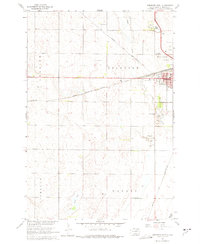
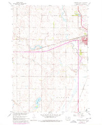
The western edges of Aberdeen reveal a landscape shaped by mid-century transit and civic growth at the dawn of the 1960s. This survey, compiled in part from 1958 aerial photography, details the intersection of major rail lines including the Chicago and North Western and the Chicago Milwaukee St Paul and Pacific. The industrial and social character of the era is evidenced by features such as the Drive-in Theater and the expansive Riverside Cemetery near Foot Creek.
Find a feature on this map
25 named features on this map. Tap any name to fly to it.
Don’t see what you’re looking for? This feature index may not catch every label — zoom into the map to look around manually.
Map Details
Editions of this 1960 Aberdeen West Map
Other maps of this area

1894 · Columbia
USGS Topo · 1:62,500

1895 · Aberdeen
USGS Topo · 1:125,000

1896 · Columbia
USGS Topo · 1:125,000

1899 · Ellendale
USGS Topo · 1:125,000

1899 · Northville
USGS Topo · 1:125,000

1952 · Ordway
USGS Topo · 1:24,000

1953 · Warner
USGS Topo · 1:24,000

1954 · Aberdeen
USGS Topo · 1:250,000

1956 · Aberdeen
USGS Topo · 1:250,000
1960 · Aberdeen East
USGS Topo · 1:24,000