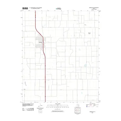
2010 Map of Abernathy
USGS Topo · Published 2010About this map
Abernathy serves as the focal point of this High Plains landscape, situated at a major transportation junction where the grid of rural roads meets the primary north-south corridor. The town layout is clearly defined against the surrounding agricultural expanses, which are segmented by a strictly geometric network of routes like Co Rd 325 and Fm 2060. To the northeast, the Abernathy Municipal Airport and the Strip Cemetery provide essential community infrastructure and historical markers. In the southwestern corner, the Cravens Oil Field indicates the importance of mineral extraction to the local economy, while Blackwater Draw cuts a subtle diagonal through the otherwise uniform section lines. This 2010 survey by the U.S. Geological Survey captures the interplay between industrial development, rural homesteads, and the enduring infrastructure of Hale County.
Find a feature on this map
20 named features on this map. Tap any name to fly to it.
Don’t see what you’re looking for? This feature index may not catch every label — zoom into the map to look around manually.
Map Details
Editions of this 2010 Abernathy Map
This is the sole edition of this map. No revisions or reprints were ever made.
Other maps of this area

1954 · Lubbock
USGS Topo · 1:250,000

1956 · Shallowater
USGS Topo · 1:24,000

1956 · New Deal
USGS Topo · 1:24,000

1957 · Lubbock
USGS Topo · 1:62,500

1957 · Abernathy
USGS Topo · 1:62,500

1965 · Idalou
USGS Topo · 1:24,000

1965 · Heckville
USGS Topo · 1:24,000

1968 · Julia Lake
USGS Topo · 1:24,000
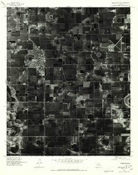
1976 · Abernathy SE
USGS Topo · 1:24,000
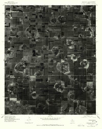
1976 · Abernathy NW
USGS Topo · 1:24,000