
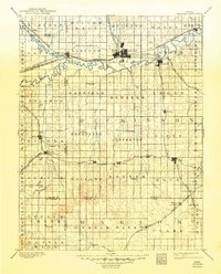
1894 Map of Abilene
USGS Topo · Published 1894About this map
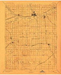
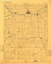
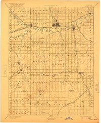
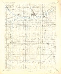
Abilene serves as the central hub of this late-nineteenth-century landscape, situated at a major convergence of the Union Pacific Railroad and the Atchison Topeka and Santa Fe Railroad. The town’s position just north of the Smoky Hill River highlights its importance during the height of the Kansas rail boom. To the west, Solomon marks the junction of the Solomon River and the Smoky Hill, a vital confluence for early regional movement.
Find a feature on this map
78 named features on this map. Tap any name to fly to it.
Don’t see what you’re looking for? This feature index may not catch every label — zoom into the map to look around manually.
Map Details
Editions of this 1894 Abilene Map
6 editions found
Other maps of this area

1886 · Junction City
USGS Topo · 1:125,000

1889 · Newton
USGS Topo · 1:125,000

1889 · Junction City
USGS Topo · 1:125,000

1889 · Abilene
USGS Topo · 1:125,000

1889 · Parkerville
USGS Topo · 1:125,000

1891 · Hutchinson
USGS Topo · 1:125,000

1891 · Clay Center
USGS Topo · 1:125,000

1892 · Salina
USGS Topo · 1:125,000

1892 · Minneapolis
USGS Topo · 1:125,000

1893 · Hutchinson
USGS Topo · 1:125,000