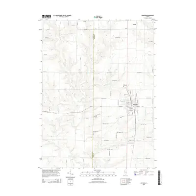
2015 Map of Abingdon
USGS Topo · Published 2015About this map
Abingdon serves as the primary population center in this Western Illinois landscape, situated at the intersection of a grid-iron road network and several meandering watercourses. The town's layout is meticulously detailed, showing the residential blocks and local streets that transition into the agricultural expanses of Knox and Warren Counties. The area's communal history is anchored by several burial grounds, including the centrally located Abingdon Cem and the more outlying Meridians Cem and Cherry Grove Cem.
Find a feature on this map
77 named features on this map. Tap any name to fly to it.
Don’t see what you’re looking for? This feature index may not catch every label — zoom into the map to look around manually.
Map Details
Editions of this 2015 Abingdon Map
This is the sole edition of this map. No revisions or reprints were ever made.
Other maps of this area

1915 · Avon
USGS Topo · 1:62,500

1916 · Good Hope
USGS Topo · 1:62,500

1918 · Good Hope
USGS Topo · 1:62,500

1921 · Monmouth
USGS Topo · 1:62,500

1923 · Monmouth
USGS Topo · 1:62,500

1925 · Galesburg
USGS Topo · 1:62,500

1927 · Galesburg
USGS Topo · 1:62,500

1944 · Avon
USGS Topo · 1:62,500

1958 · Burlington
USGS Topo · 1:250,000

1961 · Burlington
USGS Topo · 1:250,000