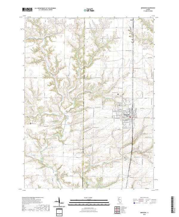
2024 Map of Abingdon
USGS Topo · Published 2024About this map
The city of Abingdon serves as the primary hub of this Knox County landscape, where an organized grid of residential streets meets the surrounding agricultural plains. The terrain is defined by a dendritic network of waterways, including the winding Cedar Fork and Latimer Creek, which carve through the farmland. To the north, the small community of Saluda sits near the upper reaches of the map, while Olford's Airport occupies a flat stretch south of the main settlement. Genealogy and local history are well-represented by several family and community burial grounds, such as Boydston - Dawdy Cem in the southeast and Meridian Cem to the west. This modern survey illustrates how long-established rural road networks, like Co Hwy 16 and numerous township lines, continue to anchor the region's movement and land division.
Find a feature on this map
104 named features on this map. Tap any name to fly to it.
Don’t see what you’re looking for? This feature index may not catch every label — zoom into the map to look around manually.
Map Details
Editions of this 2024 Abingdon Map
This is the sole edition of this map. No revisions or reprints were ever made.
Other maps of this area

1915 · Avon
USGS Topo · 1:62,500

1916 · Good Hope
USGS Topo · 1:62,500

1918 · Good Hope
USGS Topo · 1:62,500

1921 · Monmouth
USGS Topo · 1:62,500

1923 · Monmouth
USGS Topo · 1:62,500

1925 · Galesburg
USGS Topo · 1:62,500

1927 · Galesburg
USGS Topo · 1:62,500

1944 · Avon
USGS Topo · 1:62,500

1958 · Burlington
USGS Topo · 1:250,000

1961 · Burlington
USGS Topo · 1:250,000