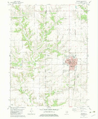
1982 Map of Abingdon
USGS Topo · Published 1983About this map
The city of Abingdon serves as the focal point of this western Illinois landscape, where the local economy and community are shaped by the Burlington Northern railroad and agricultural connectivity. The town layout is remarkably detailed, identifying civic buildings such as the Post Office and City Hall, along with educational institutions like Hedding School and Snyder Jr High School. Outside the urban center, the terrain is defined by the Fourth Principal Meridian line and a network of creeks including Cedar Fork and Indian Creek.
Find a feature on this map
32 named features on this map. Tap any name to fly to it.
Don’t see what you’re looking for? This feature index may not catch every label — zoom into the map to look around manually.
Map Details
Editions of this 1982 Abingdon Map
This is the sole edition of this map. No revisions or reprints were ever made.
Other maps of this area

1915 · Avon
USGS Topo · 1:62,500

1916 · Good Hope
USGS Topo · 1:62,500

1918 · Good Hope
USGS Topo · 1:62,500

1921 · Monmouth
USGS Topo · 1:62,500

1923 · Monmouth
USGS Topo · 1:62,500

1925 · Galesburg
USGS Topo · 1:62,500

1927 · Galesburg
USGS Topo · 1:62,500

1944 · Avon
USGS Topo · 1:62,500

1958 · Burlington
USGS Topo · 1:250,000

1961 · Burlington
USGS Topo · 1:250,000