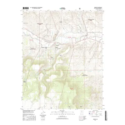
2017 Map of Abiquiu
USGS Topo · Published 2017About this map
Rio Chama winding through the high desert landscape defines this Rio Arriba County region, where the traditional settlement of Abiquiu is flanked by smaller communities like La Careda, Buena Vista, and Barranca. The map captures a complex irrigation and water management network essential to the area's agricultural history, including the Rancho Abiquiu Ditch and numerous tanks such as Lobato Tank.
Find a feature on this map
43 named features on this map. Tap any name to fly to it.
Don’t see what you’re looking for? This feature index may not catch every label — zoom into the map to look around manually.
Map Details
Editions of this 2017 Abiquiu Map
This is the sole edition of this map. No revisions or reprints were ever made.
Other maps of this area

1918 · Abiquiu
USGS Topo · 1:125,000

1953 · Canones
USGS Topo · 1:24,000

1953 · Chili
USGS Topo · 1:24,000

1953 · Abiquiu
USGS Topo · 1:24,000

1953 · Medanales
USGS Topo · 1:24,000

1953 · Vallecitos
USGS Topo · 1:24,000

1953 · Polvadera Peak
USGS Topo · 1:24,000

1953 · El Rito
USGS Topo · 1:24,000

1953 · Canjilon SE
USGS Topo · 1:24,000

1953 · Ghost Ranch
USGS Topo · 1:24,000