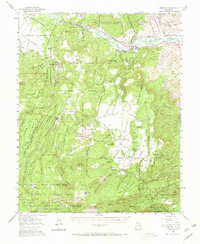
1953 Map of Abiquiu
USGS Topo · Published 1965About this map
The Rio Chama valley serves as the central artery for this 1953 survey, where long-established land grants and small agricultural settlements define the landscape. Near the settlement of Abiquiu, family and community history is anchored by the Capilla de San Miguel and the nearby San Miguel Cem. The map illustrates the complex boundaries of the Piedra Lumbre Grant and the Juan Jose Lobato Grant, reflecting the region's Spanish colonial and Mexican land tenure systems that persisted well into the twentieth century.
Find a feature on this map
57 named features on this map. Tap any name to fly to it.
Don’t see what you’re looking for? This feature index may not catch every label — zoom into the map to look around manually.
Map Details
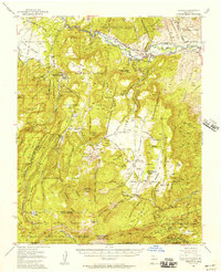
Editions of this 1953 Abiquiu Map
2 editions found
Other maps of this area

1890 · Jemes
USGS Topo · 1:125,000

1892 · Jemes
USGS Topo · 1:125,000

1892 · Santa Clara
USGS Topo · 1:125,000

1909 · Gallina
USGS Topo · 1:125,000

1918 · Abiquiu
USGS Topo · 1:125,000

1937 · Jemez Springs
USGS Topo · 1:48,000

1944 · Jemez Springs
USGS Topo · 1:62,500

1952 · Valle Toledo
USGS Topo · 1:24,000

1952 · Jemez Springs
USGS Topo · 1:62,500

1952 · Puye
USGS Topo · 1:24,000