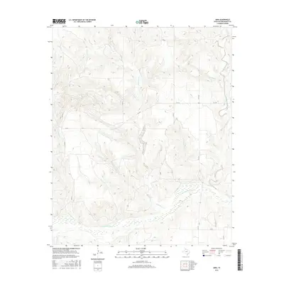
2016 Map of Abra
USGS Topo · Published 2016About this map
Salt Fork Red River flows across the southern portion of this landscape, carving a wide path through the eastern Panhandle's drainage network. The terrain is defined by a dense system of seasonal and perennial waterways, including the winding Richardson Cr and Big Sandy Cr. Near the intersection of FM 3143 and FM 1547, the small community of Abra serves as a local landmark in this primarily rural expanse of Collingsworth County. The map details a transition from the higher western plateaus down toward the river basin, with numerous draws like Gyp Cr and Wills Cr illustrating the erosional patterns characteristic of the region. A network of county roads, including Co RD 80 and Co RD 25, provides access across the broken ground between the northern creeks and the southern river floodplain.
Find a feature on this map
20 named features on this map. Tap any name to fly to it.
Don’t see what you’re looking for? This feature index may not catch every label — zoom into the map to look around manually.
Map Details
Editions of this 2016 Abra Map
This is the sole edition of this map. No revisions or reprints were ever made.
Other maps of this area

1954 · Amarillo
USGS Topo · 1:250,000

1954 · Plainview
USGS Topo · 1:250,000

1958 · Amarillo
USGS Topo · 1:250,000

1958 · Plainview
USGS Topo · 1:250,000

1959 · Spencer Lake
USGS Topo · 1:24,000

1959 · McKnight
USGS Topo · 1:24,000

1963 · Ramsdell
USGS Topo · 1:24,000

1963 · Shamrock West
USGS Topo · 1:24,000

1963 · McLean
USGS Topo · 1:24,000

1964 · Rolla NE
USGS Topo · 1:24,000