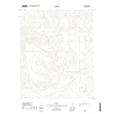
2019 Map of Abra
USGS Topo · Published 2019About this map
Abra sits at the heart of this Panhandle landscape, where the agricultural grid of Collingsworth County meets the intricate drainage systems of the Salt Fork Red River. The terrain is defined by the deep carving of numerous waterways, including Richardson Creek and McCormick Cr, which flow south toward the river's wide, sandy bed. This 2019 survey documents a classic Texas cattle and cotton country infrastructure, with Farm to Market Roads like FM 3143 and FM 1547 providing the primary transit through the rolling breaks. The map captures the complex topography of the gypsum-influenced soils, most notably near Gyp Cr, illustrating how the local hydrology has shaped the placement of farmsteads and county roads such as Co RD 80 and Co RD D.
Find a feature on this map
22 named features on this map. Tap any name to fly to it.
Don’t see what you’re looking for? This feature index may not catch every label — zoom into the map to look around manually.
Map Details
Editions of this 2019 Abra Map
This is the sole edition of this map. No revisions or reprints were ever made.
Other maps of this area

1954 · Amarillo
USGS Topo · 1:250,000

1954 · Plainview
USGS Topo · 1:250,000

1958 · Amarillo
USGS Topo · 1:250,000

1958 · Plainview
USGS Topo · 1:250,000

1959 · Spencer Lake
USGS Topo · 1:24,000

1959 · McKnight
USGS Topo · 1:24,000

1963 · Ramsdell
USGS Topo · 1:24,000

1963 · Shamrock West
USGS Topo · 1:24,000

1963 · McLean
USGS Topo · 1:24,000

1964 · Rolla NE
USGS Topo · 1:24,000