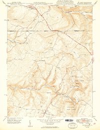
1949 Map of Accident
USGS Topo · Published 1949About this map
Accident and the surrounding Maryland-Pennsylvania highlands are defined by the winding course of the National Pike and a series of industrial and agricultural settlements at the end of the 1940s. The landscape is characterized by prominent ridges such as Negro Mountain and Winding Ridge, which separate deep drainages like Bear Creek and Cove Run. The survey documents a rural economy still tied to local processing and natural resources, evidenced by Kaese Mill, Engle Mill, and the Sausman Mine. Community life is anchored by landmarks such as the Rich Sch and the Turney Cem near the northern border at Addison. Large tracts of the eastern terrain are occupied by the Savage River State Forest, while the presence of a Fish Hatchery near the confluence of Little Bear Creek suggests managed aquatic resources during this era.
Find a feature on this map
41 named features on this map. Tap any name to fly to it.
Don’t see what you’re looking for? This feature index may not catch every label — zoom into the map to look around manually.
Map Details
Editions of this 1949 Accident Map
2 editions found
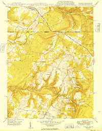
Other maps of this area

1899 · Grantsville
USGS Topo · 1:62,500

1900 · Accident
USGS Topo · 1:62,500

1904 · Grantsville
USGS Topo · 1:62,500

1921 · Meyersdale
USGS Topo · 1:62,500

1922 · Confluence
USGS Topo · 1:62,500

1931 · Confluence
USGS Topo · 1:62,500

1933 · Confluence
USGS Topo · 1:62,500

1939 · Meyersdale
USGS Topo · 1:62,500

1944 · Meyersdale
USGS Topo · 1:62,500

1946 · Grantsville
USGS Topo · 1:24,000