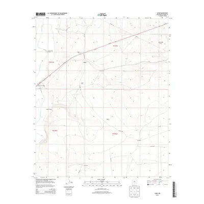
2013 Map of Acme
USGS Topo · Published 2013About this map
The Pecos River snakes through this high-plains landscape, carved by erosion features like Lloyds Canyon and the winding Bob Crosby Draw. Settlement in this corner of Chaves County is characterized by isolated operations and ranching outposts, including Kitchen Ranch, Smith Ranch, and Dallas Ranch. The small community of Acme serves as a central point along the highway, marked by the nearby Frazier Cem.
Find a feature on this map
23 named features on this map. Tap any name to fly to it.
Don’t see what you’re looking for? This feature index may not catch every label — zoom into the map to look around manually.
Map Details
Editions of this 2013 Acme Map
This is the sole edition of this map. No revisions or reprints were ever made.
Other maps of this area

1949 · L-E Ranch
USGS Topo · 1:24,000

1950 · Comanche Spring
USGS Topo · 1:24,000

1950 · Bitter Lake
USGS Topo · 1:24,000

1955 · Roswell
USGS Topo · 1:250,000

1958 · Roswell
USGS Topo · 1:250,000

1962 · Roswell
USGS Topo · 1:250,000

1962 · Eightmile Draw
USGS Topo · 1:24,000
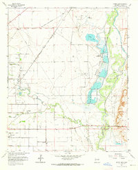
1962 · Bitter Lake
USGS Topo · 1:24,000

1962 · Acme
USGS Topo · 1:24,000
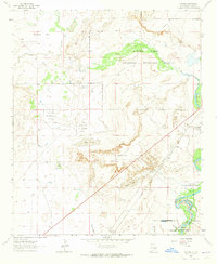
1962 · Melena
USGS Topo · 1:24,000