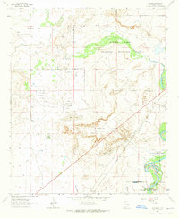
1962 Map of Melena
USGS Topo · Published 1965About this map
The Bitter Lake National Wildlife Refuge dominates this section of Chaves County, protecting a vital riparian corridor where the desert floor meets the waters of the Pecos River. Surveyed in the early 1960s, the landscape is defined by the contrast between the arid Dunnahoo Hills and a complex network of seasonal and permanent water bodies, including Big Lake, Skull Lake, and the curiously named Ink Pots.
Find a feature on this map
25 named features on this map. Tap any name to fly to it.
Don’t see what you’re looking for? This feature index may not catch every label — zoom into the map to look around manually.
Map Details
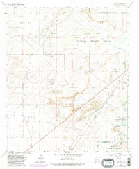
Editions of this 1962 Melena Map
2 editions found
Other maps of this area

1949 · Roswell North
USGS Topo · 1:24,000

1950 · Comanche Spring
USGS Topo · 1:24,000

1950 · Bitter Lake
USGS Topo · 1:24,000

1955 · Roswell
USGS Topo · 1:250,000

1958 · Roswell
USGS Topo · 1:250,000

1962 · Roswell
USGS Topo · 1:250,000
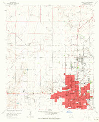
1962 · Roswell North
USGS Topo · 1:24,000

1962 · Eightmile Draw
USGS Topo · 1:24,000
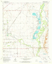
1962 · Bitter Lake
USGS Topo · 1:24,000

1962 · Panther Hill
USGS Topo · 1:24,000