
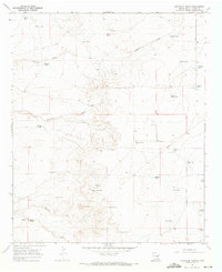
1962 Map of Eightmile Draw
USGS Topo · Published 1964About this map
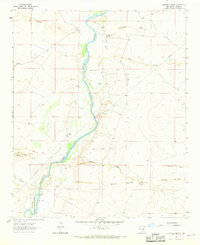
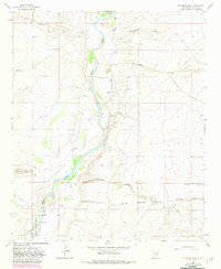
The Pecos River carves a winding path through the Chaves County landscape, anchoring a region defined by extensive ranching and water management in the early 1960s. Family-held operations like the Neal Ranch, Sturgeon Ranch, and John White Ranch are distributed across the arid terrain, highlighting the importance of groundwater sources such as the Adair Well and Potter Well. The southern portion of the map is dominated by the northern reaches of the Bitter Lake National Wildlife Refuge, where the river's influence creates a distinct wetland habitat contrasting with the surrounding dry draws. Significant topographical features include the rising elevation of Railroad Mountain and the seasonal drainage patterns of Eightmile Draw and Sand Creek. This survey captures the rural infrastructure of the era, from scattered Oil Wells to the network of pipelines crossing the open range.
Find a feature on this map
22 named features on this map. Tap any name to fly to it.
Don’t see what you’re looking for? This feature index may not catch every label — zoom into the map to look around manually.
Map Details
Editions of this 1962 Eightmile Draw Map
3 editions found
Other maps of this area

1955 · Roswell
USGS Topo · 1:250,000

1958 · Roswell
USGS Topo · 1:250,000

1962 · Roswell
USGS Topo · 1:250,000

1962 · Acme
USGS Topo · 1:24,000
1962 · Melena
USGS Topo · 1:24,000

1963 · Coyote Draw
USGS Topo · 1:24,000
1967 · Campbell
USGS Topo · 1:24,000

1967 · Haystack Mountain
USGS Topo · 1:24,000

1967 · Cottonwood Draw
USGS Topo · 1:24,000
1967 · Haystack Butte
USGS Topo · 1:24,000