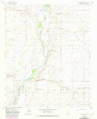
1962 Map of Eightmile Draw
USGS Topo · Published 1982About this map
The Pecos River carves a green corridor through the arid landscapes of eastern New Mexico, defining the character of this ranching region. Extensive pastoral operations are anchored by family-named properties like the John White Ranch, C L White Ranch, and Crawford Ranch, reflecting the scattered settlement patterns of the mid-20th century. To the south, the northern edge of the Bitter Lake National Wildlife Refuge appears near Milner Lake, while the elevation rises toward the prominent ridge of Railroad Mountain in the southeast.
Find a feature on this map
22 named features on this map. Tap any name to fly to it.
Don’t see what you’re looking for? This feature index may not catch every label — zoom into the map to look around manually.
Map Details
Editions of this 1962 Eightmile Draw Map
3 editions found
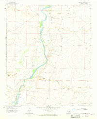
Other maps of this area

1955 · Roswell
USGS Topo · 1:250,000

1958 · Roswell
USGS Topo · 1:250,000

1962 · Roswell
USGS Topo · 1:250,000

1962 · Eightmile Draw
USGS Topo · 1:24,000

1962 · Acme
USGS Topo · 1:24,000
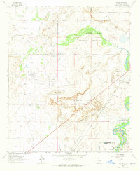
1962 · Melena
USGS Topo · 1:24,000

1963 · Coyote Draw
USGS Topo · 1:24,000
1967 · Campbell
USGS Topo · 1:24,000

1967 · Haystack Mountain
USGS Topo · 1:24,000

1967 · Cottonwood Draw
USGS Topo · 1:24,000