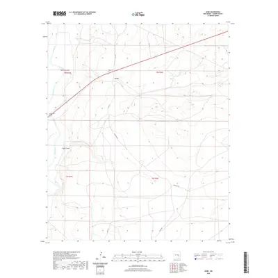
2020 Map of Acme
USGS Topo · Published 2020About this map
Acme and the surrounding high plains of Chaves County are defined by the winding course of the Pecos River, which carves through the western portion of this landscape. The settlement of Acme sits as a lonely waypoint amidst a network of rural routes including Aztec Rd and Magdalena Rd, reflecting the expansive ranching and land-management patterns of southeastern New Mexico. Landforms such as Bob Crosby Draw and Lloyds Canyon emphasize the drainage systems that feed toward the river valley, while the presence of the Frazier Cem north of the main road provides a specific point of interest for genealogists and local historians tracing early 20th-century inhabitants of the Pecos Valley. The map also delineates the transition between the T8S and T9S townships, illustrating the large-scale spatial organization of this arid region.
Find a feature on this map
14 named features on this map. Tap any name to fly to it.
Don’t see what you’re looking for? This feature index may not catch every label — zoom into the map to look around manually.
Map Details
Editions of this 2020 Acme Map
This is the sole edition of this map. No revisions or reprints were ever made.
Other maps of this area

1949 · L-E Ranch
USGS Topo · 1:24,000

1950 · Comanche Spring
USGS Topo · 1:24,000

1950 · Bitter Lake
USGS Topo · 1:24,000

1955 · Roswell
USGS Topo · 1:250,000

1958 · Roswell
USGS Topo · 1:250,000

1962 · Roswell
USGS Topo · 1:250,000

1962 · Eightmile Draw
USGS Topo · 1:24,000
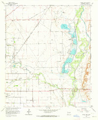
1962 · Bitter Lake
USGS Topo · 1:24,000

1962 · Acme
USGS Topo · 1:24,000
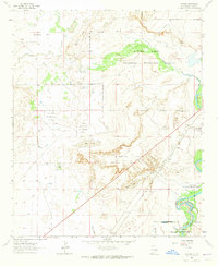
1962 · Melena
USGS Topo · 1:24,000