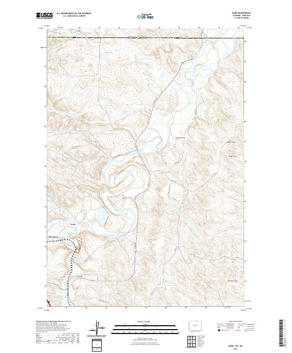
2021 Map of Acme
USGS Topo · Published 2021About this map
The Tongue River valley defines this borderlands landscape, winding northward through Sheridan County toward the Montana state line. In this northern Wyoming cattle and coal country, the small settlements of Acme and Kleenburn sit at the confluence of the river and Goose Creek. The mapping reveals a complex system of water management and natural drainage, including the Gladewater Ditch and numerous named draws such as Wheat Draw and Sheep Draw.
Find a feature on this map
35 named features on this map. Tap any name to fly to it.
Don’t see what you’re looking for? This feature index may not catch every label — zoom into the map to look around manually.
Map Details
Editions of this 2021 Acme Map
This is the sole edition of this map. No revisions or reprints were ever made.
Other maps of this area

1894 · Rosebud
USGS Topo · 1:125,000

1895 · Dayton
USGS Topo · 1:125,000

1901 · Rosebud
USGS Topo · 1:125,000

1901 · Dayton
USGS Topo · 1:125,000

1909 · Sheridan
USGS Topo · 1:125,000

1911 · Sheridan
USGS Topo · 1:125,000

1954 · Hardin
USGS Topo · 1:250,000

1955 · Sheridan
USGS Topo · 1:250,000

1957 · Hardin
USGS Topo · 1:250,000

1958 · Hardin
USGS Topo · 1:250,000