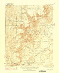
1925 Map of Acord Lakes
USGS Topo · Published 1947About this map
Manti National Forest and Fishlake National Forest converge in this high-plateau region, characterized by deep incisions like Convulsion Canyon and Link Canyon. The map document captures a transitional landscape of the 1920s where livestock ranching and early coal mining coexisted. Scattered homesteads and seasonal camps, such as the Old Allridge Place, Lunds Cabin, and Peacocks Place, are documented alongside established operations like the Quitchupah Ranch.
Find a feature on this map
60 named features on this map. Tap any name to fly to it.
Don’t see what you’re looking for? This feature index may not catch every label — zoom into the map to look around manually.
Map Details
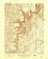
Editions of this 1925 Acord Lakes Map
3 editions found
Other maps of this area

1885 · Manti
USGS Topo · 1:250,000

1885 · Fish Lake
USGS Topo · 1:250,000

1895 · Manti
USGS Topo · 1:250,000

1896 · Fish Lake
USGS Topo · 1:250,000

1922 · Emery No.3
USGS Topo · 1:31,680

1922 · Wasatch
USGS Topo · 1:31,680

1923 · Castle Dale
USGS Topo · 1:62,500

1925 · Castle Dale
USGS Topo · 1:62,500

1925 · Acord Lakes
USGS Topo · 1:62,500

1956 · Salina
USGS Topo · 1:250,000