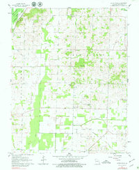
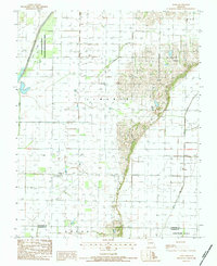
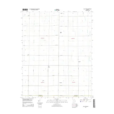
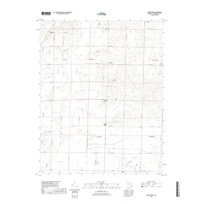
1962 Map of Acorn Ridge
USGS Topo · Published 1979About this map
The Mingo National Wildlife Refuge dominates the northwest corner of this Stoddard County landscape, preserving a section of the Mingo Swamp Ditch No 1 and the St Louis-San Francisco rail line. The surrounding territory in New Lisbon is defined by an extensive drainage system designed to manage the lowland terrain, featuring engineered channels like the Goose Pond Ditch, Lick Creek Ditch, and Mule Ditch.
Find a feature on this map
31 named features on this map. Tap any name to fly to it.
Don’t see what you’re looking for? This feature index may not catch every label — zoom into the map to look around manually.
Map Details
Editions of this 1962 Acorn Ridge Map
2 editions found
Historical Maps of Acorn Ridge Through Time
20 maps found
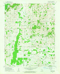
1962 Acorn Ridge
Stoddard County, MO
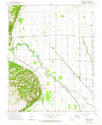
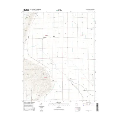
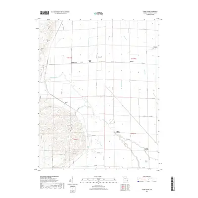
1963 Clines Island
Stoddard County, MO
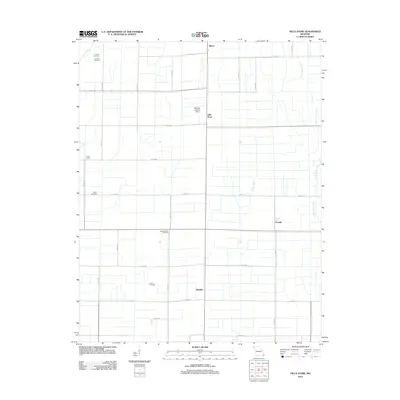
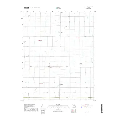
1978 Hills Store
Stoddard County, MO
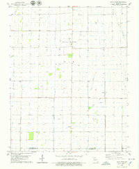
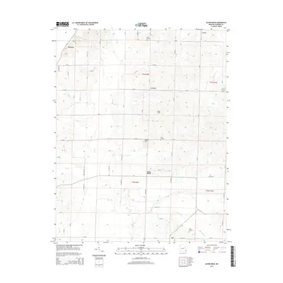
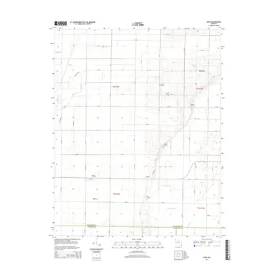
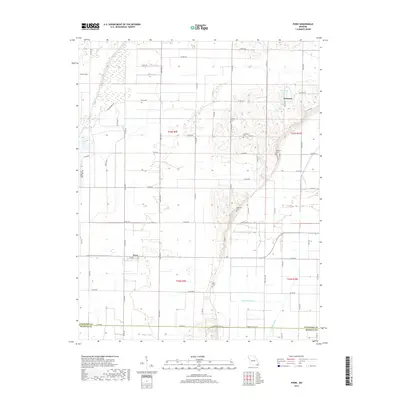
1984 Powe
Stoddard County, MO
2011 Powe
Stoddard County, MO
2012 Acorn Ridge
Stoddard County, MO
2012 Clines Island
Stoddard County, MO
2012 Hills Store
Stoddard County, MO
2015 Acorn Ridge
Stoddard County, MO
2015 Clines Island
Stoddard County, MO
2015 Hills Store
Stoddard County, MO
2015 Powe
Stoddard County, MO
2017 Acorn Ridge
Stoddard County, MO
2017 Clines Island
Stoddard County, MO
2017 Hills Store
Stoddard County, MO
2017 Powe
Stoddard County, MO
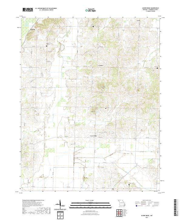
2021 Acorn Ridge
Stoddard County, MO
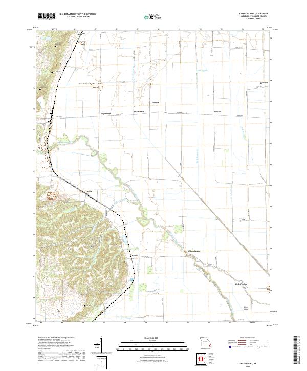
2021 Clines Island
Stoddard County, MO
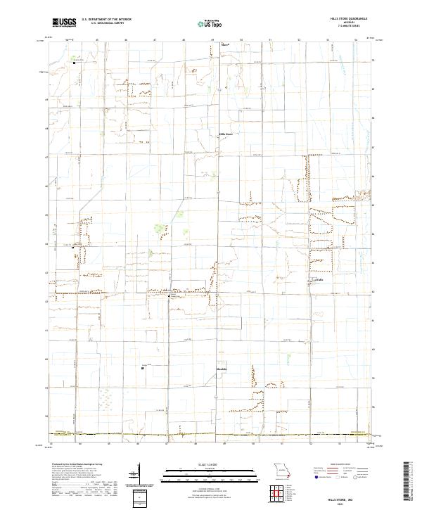
2021 Hills Store
Stoddard County, MO
2021 Powe
Stoddard County, MO