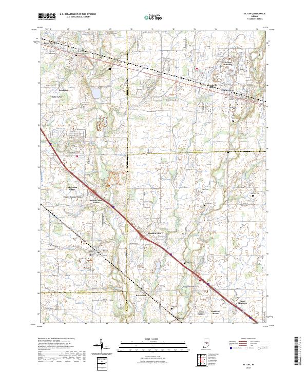
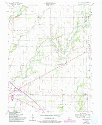
2022 Map of Acton
USGS Topo · Published 2022About this map
New Palestine and Acton anchor the northern and western sections of this landscape where the boundaries of Marion, Shelby, and Hancock counties converge. The terrain is defined by the winding paths of Buck Creek and Sugar Creek, which supported early settlement and agriculture in this corner of Indiana. A dense network of local cemeteries, including the Mount Pleasant Methodist Church Cem and the Buck Creek Christian Cem, provides a detailed record of the families who established these communities.
Find a feature on this map
118 named features on this map. Tap any name to fly to it.
Don’t see what you’re looking for? This feature index may not catch every label — zoom into the map to look around manually.
Map Details
Editions of this 2022 Acton Map
This is the sole edition of this map. No revisions or reprints were ever made.
Historical Maps of Indianapolis Through Time
17 maps found
1948 Lewis Creek
Shelby County, IN
1948 Marietta
Shelby County, IN

1950 Edinburg
Shelby County, IN
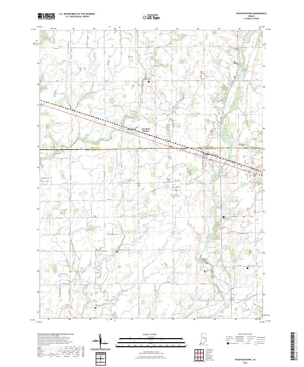
1952 Fountaintown
Shelby County, IN
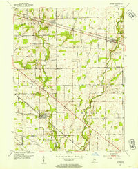
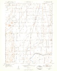
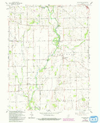
1953 Acton
Shelby County, IN
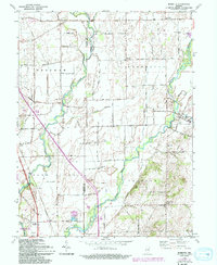
1953 Boggstown
Shelby County, IN
1956 Rays Crossing
Shelby County, IN
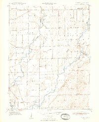
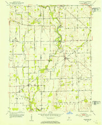
1962 Acton
Shelby County, IN
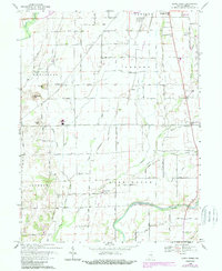
1962 Boggstown
Shelby County, IN
1962 Marietta
Shelby County, IN
1968 Lewis Creek
Shelby County, IN
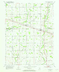
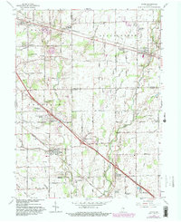
2022 Acton
Shelby County, IN
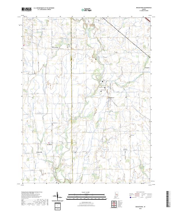
2022 Boggstown
Shelby County, IN
2022 Fountaintown
Shelby County, IN
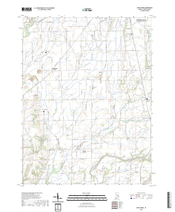
2022 Lewis Creek
Shelby County, IN
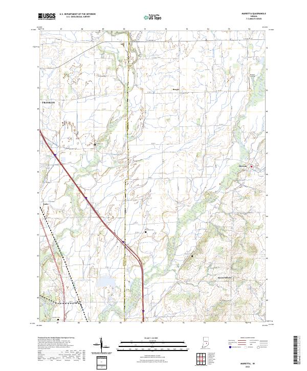
2022 Marietta
Shelby County, IN
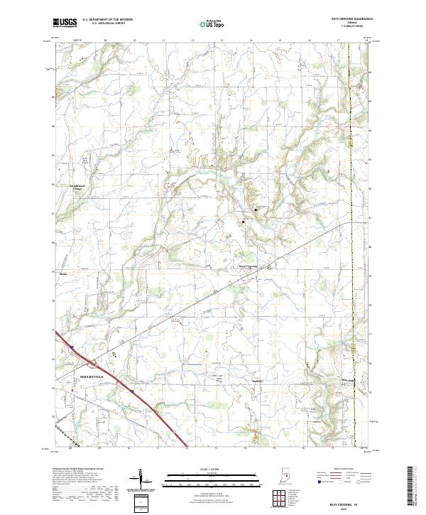
2022 Rays Crossing
Shelby County, IN