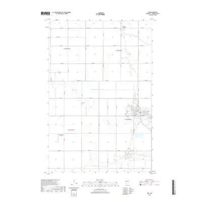
2019 Map of Ada
USGS Topo · Published 2019About this map
The city of Ada serves as the focal point of this Norman County landscape, where the residential street grid gives way to a sprawling network of agricultural lands and drainage infrastructure. This modern survey illustrates the complex water management systems of the Red River Valley, including State Ditch Number Sixty-eight and Judicial Ditch Number Fifty-one, which channel water toward the Marsh River and Wild Rice River. Local history and genealogy are anchored by features like Petri Cem and Ada Cem, while the northern settlement of Hadler remains a distinct marker on the plains. The presence of Hammars Farm Airport west of the city highlights the continued importance of aviation in this rural Minnesota region, where the section lines and township ranges provide a rigid geometry to the winding natural riverbeds.
Find a feature on this map
33 named features on this map. Tap any name to fly to it.
Don’t see what you’re looking for? This feature index may not catch every label — zoom into the map to look around manually.
Map Details
Editions of this 2019 Ada Map
This is the sole edition of this map. No revisions or reprints were ever made.
Other maps of this area

1918 · Twin Valley
USGS Topo · 1:62,500

1918 · Ulen
USGS Topo · 1:62,500

1924 · Ada
USGS Topo · 1:62,500

1952 · Grand Forks
USGS Topo · 1:250,000

1956 · Grand Forks
USGS Topo · 1:250,000

1965 · Lockhart
USGS Topo · 1:24,000

1965 · Anthony
USGS Topo · 1:24,000
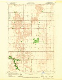
1965 · Ada NW
USGS Topo · 1:24,000

1965 · Twin Valley SW
USGS Topo · 1:24,000

1965 · Twin Valley NW
USGS Topo · 1:24,000