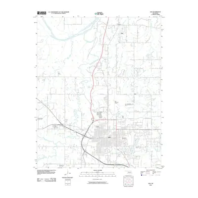
2010 Map of Ada
USGS Topo · Published 2010About this map
Ada serves as the focal point of this 2010 landscape, situated at the convergence of several major regional thoroughfares including Hwy 377 and Broadway. The city's academic and cultural core is anchored by East Central University, while its infrastructure is supported by the Ada Municipal Airport and the Ada City Dam on Clear Boggy Creek. The map documents a transition from the structured urban grid to the north where the Canadian River flows.
Find a feature on this map
68 named features on this map. Tap any name to fly to it.
Don’t see what you’re looking for? This feature index may not catch every label — zoom into the map to look around manually.
Map Details
Editions of this 2010 Ada Map
This is the sole edition of this map. No revisions or reprints were ever made.
Other maps of this area

1901 · Stonewall
USGS Topo · 1:125,000

1957 · Stonewall
USGS Topo · 1:24,000

1957 · Ardmore
USGS Topo · 1:250,000

1958 · Sasakwa
USGS Topo · 1:24,000

1958 · Francis
USGS Topo · 1:24,000

1958 · Ada
USGS Topo · 1:24,000

1958 · Vamoosa
USGS Topo · 1:24,000

1958 · Konawa
USGS Topo · 1:24,000

1963 · Ardmore
USGS Topo · 1:250,000

1967 · Ahloso
USGS Topo · 1:24,000