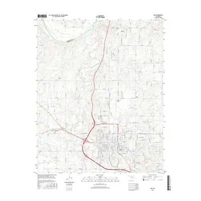
2016 Map of Ada
USGS Topo · Published 2016About this map
Ada stands as the primary hub of Pontotoc County, centered on the intersection of the Oklahoma road network and the campus of E Central Univ. The city's growth is evident in its street grid, which extends from the historic core near Old Ada Cem toward newer developments like the Ada Municipal Airport to the north. To the northwest, the Canadian River forms the border with Seminole County, winding through a landscape drained by the Canadian Sandy Creek and Turkey Creek. Smaller surrounding communities such as Byng and Hird maintain their own identities, often clustered around local landmarks like New Bethel Cem. The topography is marked by several water bodies including Ada City Lake and the various branches of Clear Boggy Cr, reflecting the region's complex drainage system that has influenced local settlement patterns for generations.
Find a feature on this map
108 named features on this map. Tap any name to fly to it.
Don’t see what you’re looking for? This feature index may not catch every label — zoom into the map to look around manually.
Map Details
Editions of this 2016 Ada Map
This is the sole edition of this map. No revisions or reprints were ever made.
Other maps of this area

1901 · Stonewall
USGS Topo · 1:125,000

1957 · Stonewall
USGS Topo · 1:24,000

1957 · Ardmore
USGS Topo · 1:250,000

1958 · Sasakwa
USGS Topo · 1:24,000

1958 · Francis
USGS Topo · 1:24,000

1958 · Ada
USGS Topo · 1:24,000

1958 · Vamoosa
USGS Topo · 1:24,000

1958 · Konawa
USGS Topo · 1:24,000

1963 · Ardmore
USGS Topo · 1:250,000

1967 · Ahloso
USGS Topo · 1:24,000