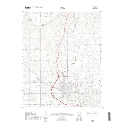
2018 Map of Ada
USGS Topo · Published 2018About this map
Ada serves as the regional anchor of this Pontotoc County landscape, where the southern plains topography is defined by the winding course of the Canadian River and its numerous tributaries. The map documents the city's infrastructure and surrounding rural developments, including the Ada Regional Airport and the waters of Ada City Lake. Local history and genealogy are well-represented by a cluster of established burial grounds such as Memorial Park Cem, Egypt Cem, and Rosedale Cem. Settlement patterns follow the natural hydrology of the area, with smaller communities like Latta, Byng, and Hird situated near watercourses such as Little Sandy Cr and Canadian Sandy Creek. The boundary between Seminole and Pontotoc counties cuts across the northern edge of the survey, marking the transition from river bottomlands to the developed urban grid of the city.
Find a feature on this map
108 named features on this map. Tap any name to fly to it.
Don’t see what you’re looking for? This feature index may not catch every label — zoom into the map to look around manually.
Map Details
Editions of this 2018 Ada Map
This is the sole edition of this map. No revisions or reprints were ever made.
Other maps of this area

1901 · Stonewall
USGS Topo · 1:125,000

1957 · Stonewall
USGS Topo · 1:24,000

1957 · Ardmore
USGS Topo · 1:250,000

1958 · Sasakwa
USGS Topo · 1:24,000

1958 · Francis
USGS Topo · 1:24,000

1958 · Ada
USGS Topo · 1:24,000

1958 · Vamoosa
USGS Topo · 1:24,000

1958 · Konawa
USGS Topo · 1:24,000

1963 · Ardmore
USGS Topo · 1:250,000

1967 · Ahloso
USGS Topo · 1:24,000