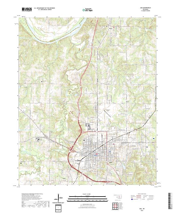
2022 Map of Ada
USGS Topo · Published 2022About this map
Ada serves as the regional hub of Pontotoc County, centered around the Pontotoc County Courthouse and the expansive campus of East Central University. The city's street grid is bounded to the north by the Richardson Loop and Lonnie Abbott Blvd, transitioning into a landscape defined by the winding course of Canadian Sandy Creek and Clear Boggy Cr. To the north, the Canadian River forms the natural boundary between Seminole and Pontotoc counties.
Find a feature on this map
126 named features on this map. Tap any name to fly to it.
Don’t see what you’re looking for? This feature index may not catch every label — zoom into the map to look around manually.
Map Details
Editions of this 2022 Ada Map
This is the sole edition of this map. No revisions or reprints were ever made.
Other maps of this area

1901 · Stonewall
USGS Topo · 1:125,000

1957 · Stonewall
USGS Topo · 1:24,000

1957 · Ardmore
USGS Topo · 1:250,000

1958 · Sasakwa
USGS Topo · 1:24,000

1958 · Francis
USGS Topo · 1:24,000

1958 · Ada
USGS Topo · 1:24,000

1958 · Vamoosa
USGS Topo · 1:24,000

1958 · Konawa
USGS Topo · 1:24,000

1963 · Ardmore
USGS Topo · 1:250,000

1967 · Ahloso
USGS Topo · 1:24,000