
1954 Map of Adak
USGS Topo · Published 1954About this map
Adak island serves as the focal point of this mid-century Aleutian survey, revealing a landscape defined by strategic military infrastructure and volatile volcanic terrain. The presence of Davis Air Force Base near Kuluk Bay highlights the era's Cold War positioning, while the surrounding topography is dominated by Kanaga Volcano on the neighboring island to the west. This period shows the transition of the region into a permanent administrative and military hub within the Third Judicial Division.
Find a feature on this map
135 named features on this map. Tap any name to fly to it.
Don’t see what you’re looking for? This feature index may not catch every label — zoom into the map to look around manually.
Map Details
Editions of this 1954 Adak Map
This is the sole edition of this map. No revisions or reprints were ever made.
Other maps of this area

1951 · Gareloi Island
USGS Topo · 1:250,000

1951 · Adak
USGS Topo · 1:250,000

1952 · Atka
USGS Topo · 1:250,000

1954 · Gareloi Island
USGS Topo · 1:250,000

1957 · Adak
USGS Topo · 1:250,000

1959 · Atka
USGS Topo · 1:250,000

1967 · Adak
USGS Topo · 1:250,000

1983 · Adak
USGS Topo · 1:250,000
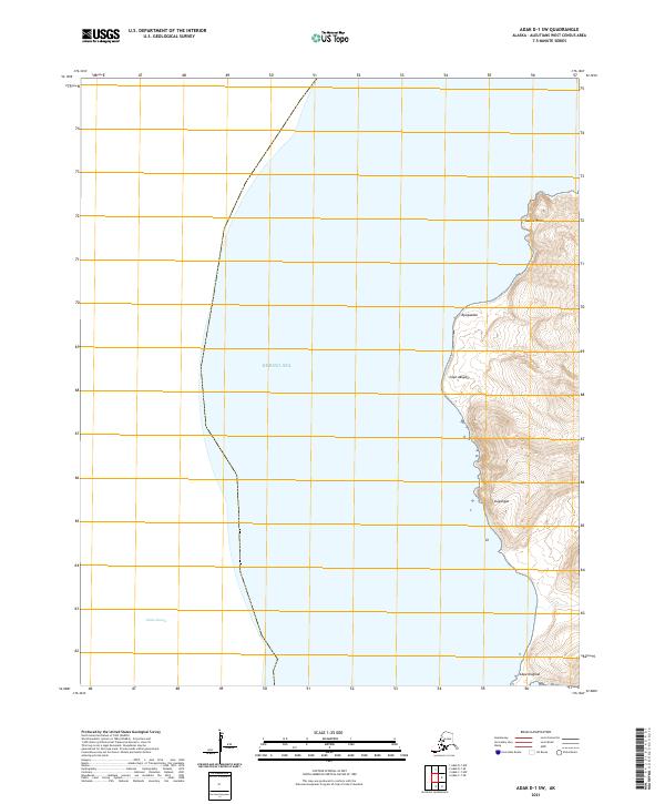
2021 · Adak D-1 SW
USGS Topo · 1:25,000
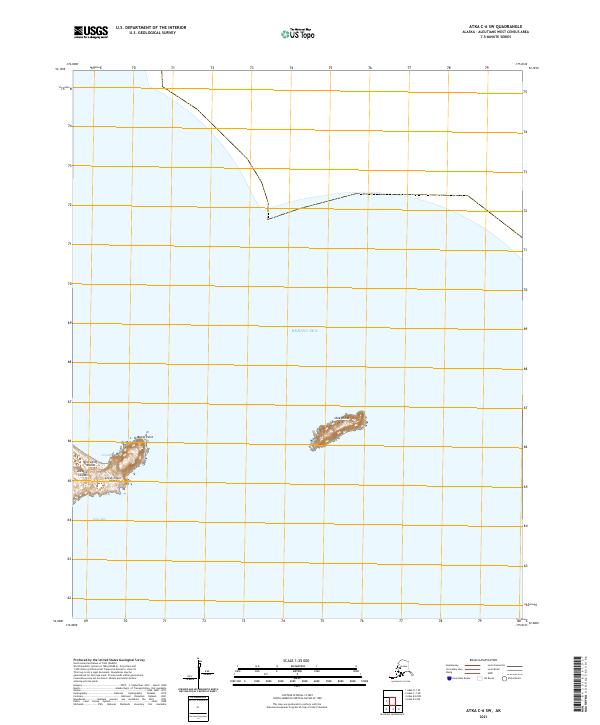
2021 · Atka C-6 SW
USGS Topo · 1:25,000