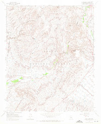
1964 Map of Adams Mesa
USGS Topo · Published 1971About this map
Adams Mesa and Sugarloaf Mountain dominate this central Arizona landscape, which was part of the Tonto National Forest and bordered the Fort McDowell Indian Reservation during the early 1960s. The area is defined by a complex network of seasonal water sources and livestock infrastructure, including Mesquite Spring Tank, Black Mesa Tank, and the Jane Gorda Well. These features reflect the arid climate and the region's historical reliance on managed water for ranching.
Find a feature on this map
26 named features on this map. Tap any name to fly to it.
Don’t see what you’re looking for? This feature index may not catch every label — zoom into the map to look around manually.
Map Details
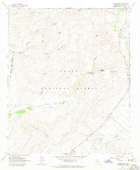
Editions of this 1964 Adams Mesa Map
2 editions found
Other maps of this area

1904 · Ft. McDowell
USGS Topo · 1:62,500

1906 · Ft. McDowell
USGS Topo · 1:62,500

1907 · Roosevelt
USGS Topo · 1:125,000

1909 · Four Peaks
USGS Topo · 1:125,000

1912 · Roosevelt
USGS Topo · 1:125,000

1930 · Cave Creek
USGS Topo · 1:125,000

1939 · Cave Creek
USGS Topo · 1:125,000

1954 · Mesa
USGS Topo · 1:250,000

1957 · Mesa
USGS Topo · 1:250,000

1958 · Mesa
USGS Topo · 1:250,000