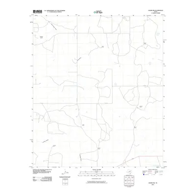
2010 Map of Adams NW
USGS Topo · Published 2010About this map
Large cattle and sheep ranching operations define the high plateau landscape of Schleicher County in this 2010 topographic survey. The territory is marked by a network of private holdings, including White Ranch, Robinson Ranch, and Lovelace Ranch, illustrating the enduring importance of family-named agricultural estates in West Texas. These properties are connected by rural corridors such as Co RD 316 and Rudd RD, which navigate a terrain carved by seasonal drainage systems.
Find a feature on this map
20 named features on this map. Tap any name to fly to it.
Don’t see what you’re looking for? This feature index may not catch every label — zoom into the map to look around manually.
Map Details
Editions of this 2010 Adams NW Map
This is the sole edition of this map. No revisions or reprints were ever made.
Other maps of this area

1892 · San Angelo
USGS Topo · 1:125,000

1893 · Fort McKavett
USGS Topo · 1:125,000

1895 · Sherwood
USGS Topo · 1:125,000

1954 · Sonora
USGS Topo · 1:250,000

1954 · San Angelo
USGS Topo · 1:250,000

1958 · Sonora
USGS Topo · 1:250,000

1958 · San Angelo
USGS Topo · 1:250,000

1963 · Adams
USGS Topo · 1:24,000

1963 · Adams NW
USGS Topo · 1:24,000

1963 · Adams SE
USGS Topo · 1:24,000