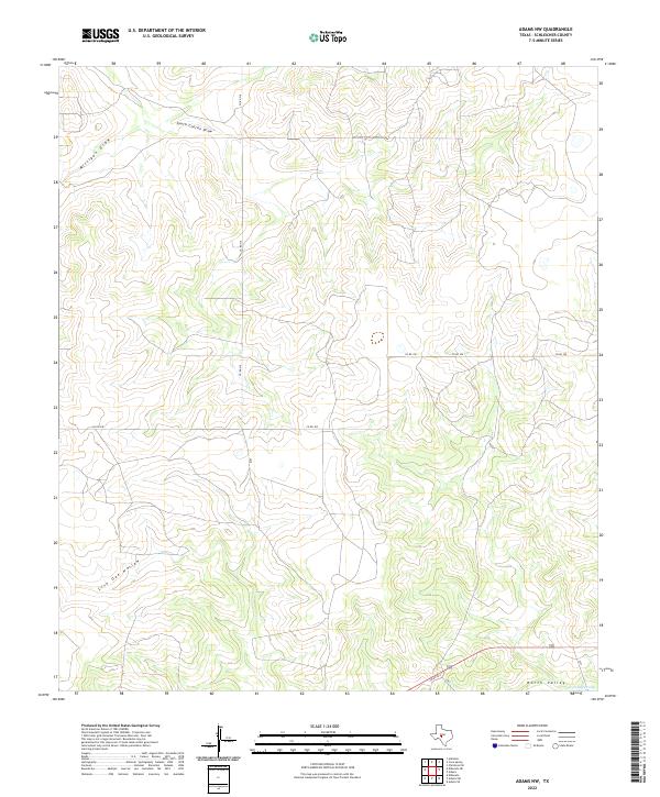
2022 Map of Adams NW
USGS Topo · Published 2022About this map
South Concho Draw and Milligan Draw carve through this high plateau region of Schleicher County, illustrating the characteristic drainage patterns of the Edwards Plateau. The landscape is defined by broad, dry draws and intermittent watercourses like Live Oak Hollow, which only carry water during significant West Texas rainfall events. To the southeast, the terrain shifts into the North Valley, where the North Valley Prong begins its course. This area is sparsely populated and primarily organized by a network of rural routes, including Co RD 316 and Co RD 300, which provide access to ranch lands. The map reflects a contemporary snapshot of this pastoral environment, where the traditional ranching economy is etched into the earth through these long-standing roadway alignments and natural watershed boundaries.
Find a feature on this map
9 named features on this map. Tap any name to fly to it.
Don’t see what you’re looking for? This feature index may not catch every label — zoom into the map to look around manually.
Map Details
Editions of this 2022 Adams NW Map
This is the sole edition of this map. No revisions or reprints were ever made.
Other maps of this area

1892 · San Angelo
USGS Topo · 1:125,000

1893 · Fort McKavett
USGS Topo · 1:125,000

1895 · Sherwood
USGS Topo · 1:125,000

1954 · Sonora
USGS Topo · 1:250,000

1954 · San Angelo
USGS Topo · 1:250,000

1958 · Sonora
USGS Topo · 1:250,000

1958 · San Angelo
USGS Topo · 1:250,000

1963 · Adams
USGS Topo · 1:24,000

1963 · Adams NW
USGS Topo · 1:24,000

1963 · Adams SE
USGS Topo · 1:24,000