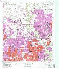
1959 Map of Addison
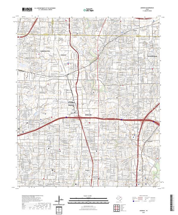
USGS Topo · Published 1986About this map
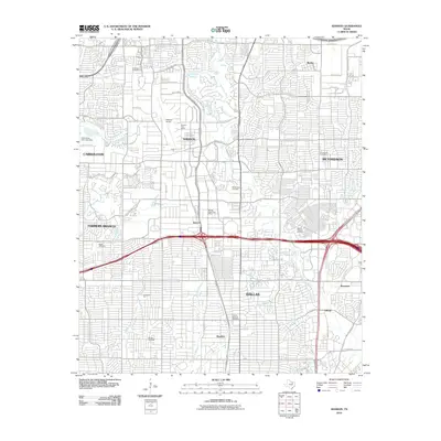
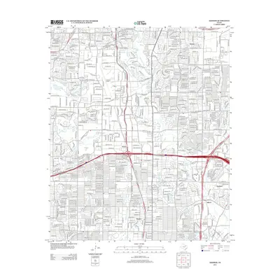
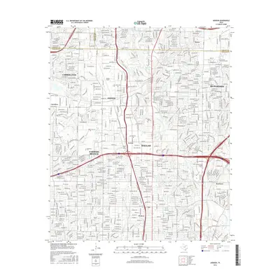
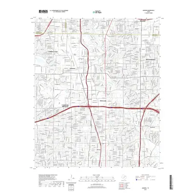
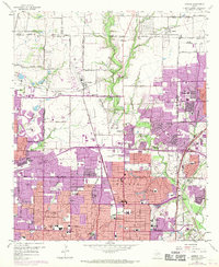
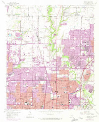
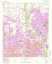
Addison and the surrounding northern Dallas suburbs are captured here during a period of massive suburbanization. While much of the landscape is already partitioned into residential grids, the presence of the Addison Airport and the St Louis Southwestern Ry corridor highlights the area's transition into a major regional transportation and industrial hub. North of the city limits, the landscape remains punctuated by significant historical sites like the Old Frankford Cem, resting near the Denton Co Collin Co line, and the White Rock Cem further south. The map documents an era of rapid institutional growth, evidenced by the high density of new educational facilities such as Ursuline Academy, Hillcrest High Sch, and Hamilton Park Sch. Waterways like White Rock Creek and Bachman Branch wind through the burgeoning developments, providing a natural contrast to the expanding concrete of the Central Expressway.
Find a feature on this map
66 named features on this map. Tap any name to fly to it.
Don’t see what you’re looking for? This feature index may not catch every label — zoom into the map to look around manually.
Map Details
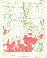
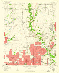
Editions of this 1959 Addison Map
6 editions found
Historical Maps of Dallas Through Time
6 maps found