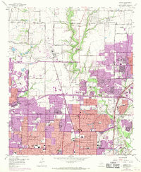
1959 Map of Addison
USGS Topo · Published 1969About this map
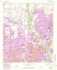
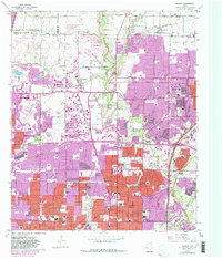
North Dallas and its burgeoning suburbs meet at the intersection of early aviation and agricultural roots on this 1950s survey, updated with late 1960s revisions. The landscape shows a region in rapid transition, where quiet landmarks like Old Frankford Cem and White Rock Cem stand alongside the encroaching footprints of modern infrastructure. The St Louis Southwestern RR and St Louis-San Francisco RR slice through the terrain, anchoring established communities like Carrollton and Addison as they began to absorb the outward push of the city.
Find a feature on this map
74 named features on this map. Tap any name to fly to it.
Don’t see what you’re looking for? This feature index may not catch every label — zoom into the map to look around manually.
Map Details
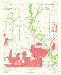
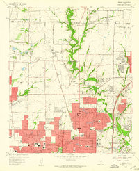
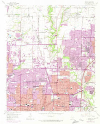
Editions of this 1959 Addison Map
6 editions found
Other maps of this area

1891 · Dallas
USGS Topo · 1:125,000

1893 · Dallas
USGS Topo · 1:125,000

1925 · Mc Kinney 3-c
USGS Topo · 1:48,000

1925 · Dallas 2-b
USGS Topo · 1:48,000

1929 · Frisco
USGS Topo · 1:62,500

1929 · McKinney
USGS Topo · 1:62,500

1931 · Carrollton
USGS Topo · 1:62,500

1954 · Dallas
USGS Topo · 1:250,000

1954 · Sherman
USGS Topo · 1:250,000

1957 · White Rock Lake
USGS Topo · 1:24,000