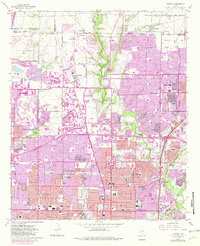
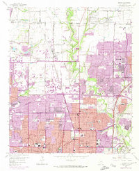
1959 Map of Addison
USGS Topo · Published 1982About this map
Addison Airport and the surrounding suburban sprawl of northern Dallas characterize this landscape during a period of rapid northward expansion. The purple tinting across the sheet illustrates the dramatic extension of urban development between the original 1959 survey and the 1981 edits, particularly around Richardson and Carrollton. Despite the encroachment of residential blocks, older land patterns remain visible through several historic burial grounds, including Old Frankford Cem and White Rock Cem.
Find a feature on this map
58 named features on this map. Tap any name to fly to it.
Don’t see what you’re looking for? This feature index may not catch every label — zoom into the map to look around manually.
Map Details
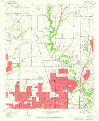
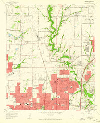
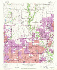
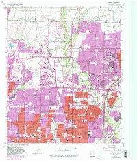
Editions of this 1959 Addison Map
6 editions found
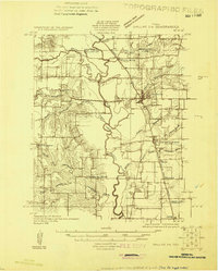
Other maps of this area

1891 · Dallas
USGS Topo · 1:125,000

1893 · Dallas
USGS Topo · 1:125,000

1925 · Mc Kinney 3-c
USGS Topo · 1:48,000
1925 · Dallas 2-b
USGS Topo · 1:48,000

1929 · Frisco
USGS Topo · 1:62,500

1929 · McKinney
USGS Topo · 1:62,500

1931 · Carrollton
USGS Topo · 1:62,500

1954 · Dallas
USGS Topo · 1:250,000

1954 · Sherman
USGS Topo · 1:250,000
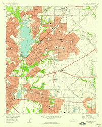
1957 · White Rock Lake
USGS Topo · 1:24,000