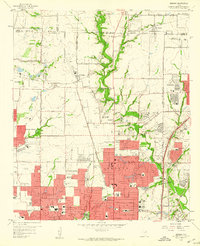
1959 Map of Addison
USGS Topo · Published 1960About this map
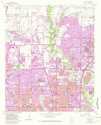
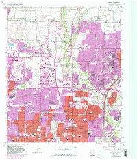
Addison and the northern reaches of Dallas are shown here during a period of rapid suburban expansion along the St Louis Southwestern railroad. The landscape is a mix of traditional agricultural roots and new residential development, marked by numerous educational and religious institutions such as Ursuline Academy, St Mark Sch, and Church of Good Shepherd. Historic local sites like Old Frankford Cem and White Rock Cem remain as markers of the area's rural past, even as infrastructure like Highland Park Airport and the expanding road network of Belt Line Road and Spring Valley Road facilitate growth. The drainage of White Rock Creek and its tributaries, including Cottonwood Creek, provides a natural counterpoint to the spreading urban grid of neighborhoods like Inwood and the emerging suburbs of Farmers Branch and Richardson.
Find a feature on this map
90 named features on this map. Tap any name to fly to it.
Don’t see what you’re looking for? This feature index may not catch every label — zoom into the map to look around manually.
Map Details
Editions of this 1959 Addison Map
6 editions found
Other maps of this area

1891 · Dallas
USGS Topo · 1:125,000

1893 · Dallas
USGS Topo · 1:125,000

1925 · Mc Kinney 3-c
USGS Topo · 1:48,000

1925 · Dallas 2-b
USGS Topo · 1:48,000

1929 · Frisco
USGS Topo · 1:62,500

1929 · McKinney
USGS Topo · 1:62,500

1931 · Carrollton
USGS Topo · 1:62,500

1954 · Dallas
USGS Topo · 1:250,000

1954 · Sherman
USGS Topo · 1:250,000

1957 · White Rock Lake
USGS Topo · 1:24,000