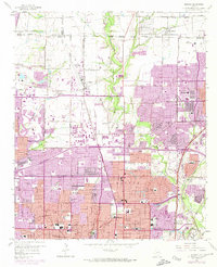
1959 Map of Addison
USGS Topo · Published 1974About this map
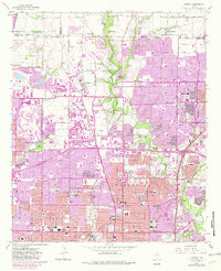
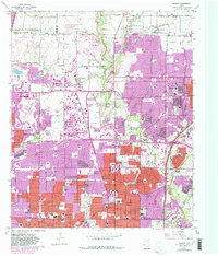
Addison and the surrounding North Dallas corridor appear here during a period of rapid suburban transformation, where traditional farm roads and rural cemeteries met the expanding grid of a modernizing metropolis. The landscape is defined by the intersection of the St Louis Southwestern railroad and the burgeoning residential developments pushing north from Dallas. While the northern reaches maintain a more open character near Old Frankford Cem and Renner, the southern half is densely packed with mid-century neighborhood staples, including dozens of educational institutions like Ursuline Academy and Hillcrest High Sch. The presence of the Municipal Airport and sprawling recreational sites such as the Brookhaven Country Club and The Northwood Club signals the area's shift from agrarian roots to a primary center of Dallas commerce and leisure. Significant infrastructure, including the Central Expressway and Lyndon B Johnson Freeway, underscores the regional transition into a major transportation hub.
Find a feature on this map
81 named features on this map. Tap any name to fly to it.
Don’t see what you’re looking for? This feature index may not catch every label — zoom into the map to look around manually.
Map Details
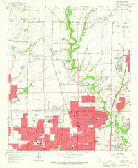
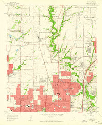
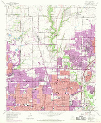
Editions of this 1959 Addison Map
6 editions found
Other maps of this area

1891 · Dallas
USGS Topo · 1:125,000

1893 · Dallas
USGS Topo · 1:125,000

1925 · Mc Kinney 3-c
USGS Topo · 1:48,000

1925 · Dallas 2-b
USGS Topo · 1:48,000

1929 · Frisco
USGS Topo · 1:62,500

1929 · McKinney
USGS Topo · 1:62,500

1931 · Carrollton
USGS Topo · 1:62,500

1954 · Dallas
USGS Topo · 1:250,000

1954 · Sherman
USGS Topo · 1:250,000

1957 · White Rock Lake
USGS Topo · 1:24,000