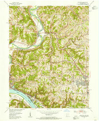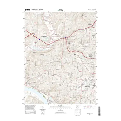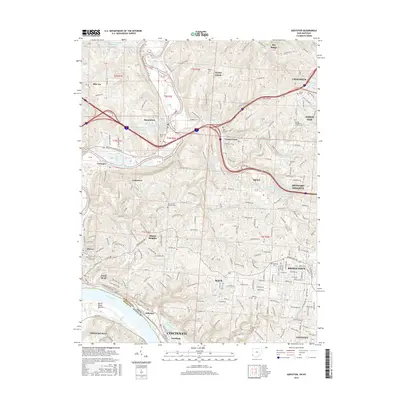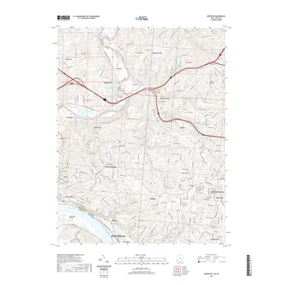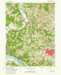
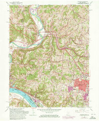
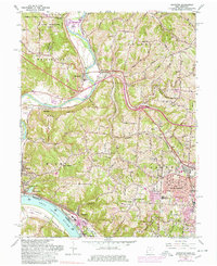
1960 Map of Addyston
USGS Topo · Published 1963About this map
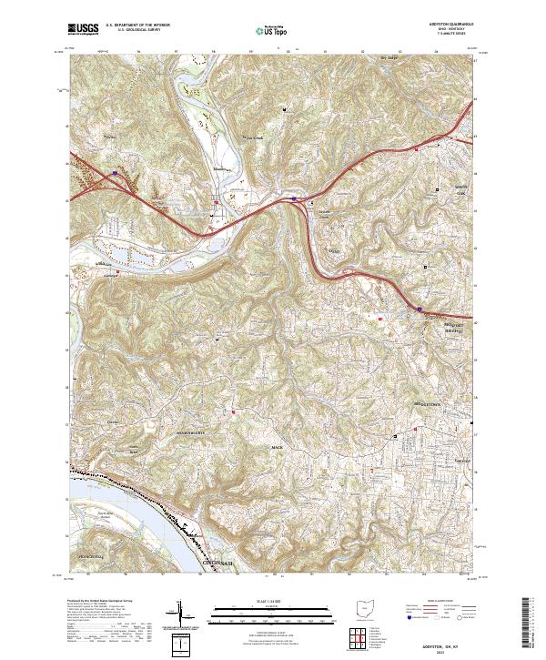
The Great Miami River and Ohio River converge in this riverside portion of Hamilton County, shaping a landscape defined by deep river valleys and floodplains like the North Bend Bottom. By the early 1960s, the area shows a transition from the industrial riverfront at Addyston to the growing suburban developments of Bridgetown and Miami Heights. The heavy transportation infrastructure of the era is evident, with the Baltimore and Ohio Railroad and New York Central System hugging the riverbanks while new road projects, including the proposed routes of Harrison Ave, carve through the terrain. Cultural and local history landmarks are well-represented, from the Miami Whitewater Forest in the north to established institutions like Oak Hill High Sch and Bridgetown Cemetery. Small settlements such as Miamitown and Blue Jay retain their identity even as the surrounding landscape begins to modernize with features like a Dragstrip and Woodland Golf Course.
Find a feature on this map
65 named features on this map. Tap any name to fly to it.
Don’t see what you’re looking for? This feature index may not catch every label — zoom into the map to look around manually.
Map Details
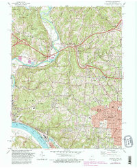
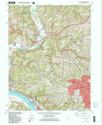
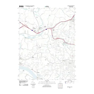
Editions of this 1960 Addyston Map
Historical Maps of Cincinnati Through Time
9 maps found