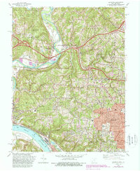
1982 Map of Addyston
USGS Topo · Published 1987About this map
The Great Miami River and Ohio River converge in this corner of southwestern Ohio, where the industrial and suburban growth of the early 1980s meets the heavy river-and-rail infrastructure of the Conrail and CSX lines. The riverbanks are defined by geographic curiosities like Potato Bend and the Low Bottoms, while the upland terrain is dotted with local heritage sites including Willsey Cem and Miami Cem.
Find a feature on this map
65 named features on this map. Tap any name to fly to it.
Don’t see what you’re looking for? This feature index may not catch every label — zoom into the map to look around manually.
Map Details
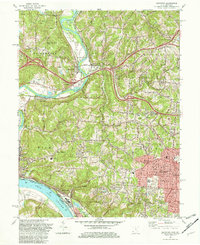
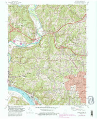
Editions of this 1982 Addyston Map
3 editions found
Other maps of this area

1914 · West Cincinnati
USGS Topo · 1:62,500

1915 · Lawrenceburg
USGS Topo · 1:48,000

1915 · Harrison
USGS Topo · 1:48,000

1915 · Hamilton
USGS Topo · 1:62,500

1917 · Hamilton
USGS Topo · 1:62,500

1928 · Lawrenceburg
USGS Topo · 1:62,500

1932 · Lawrenceburg
USGS Topo · 1:62,500

1943 · Hooven
USGS Topo · 1:24,000

1943 · Lawrenceburg
USGS Topo · 1:24,000

1950 · Covington
USGS Topo · 1:24,000