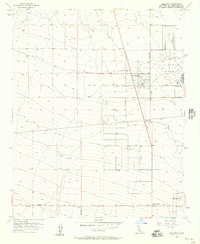
1956 Map of Adelanto
USGS Topo · Published 1957About this map
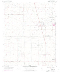
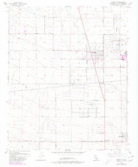
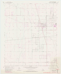
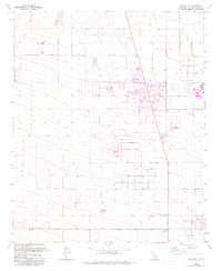
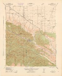
George Air Force Base dominates the northeastern corner of this High Desert landscape, its runways and hangars clearly delineated just as the facility was expanding into a major Tactical Air Command installation. The town of Adelanto sits just south of the base, organized in a crisp grid that includes Bartlet Ave and Duchess Ave, contrasting with the more dispersed desert settlements nearby. This 1956 survey records a network of established thoroughfares like El Mirage Road and Palmdale Road that supported the region's agricultural and military growth.
Find a feature on this map
17 named features on this map. Tap any name to fly to it.
Don’t see what you’re looking for? This feature index may not catch every label — zoom into the map to look around manually.
Map Details
Editions of this 1956 Adelanto Map
8 editions found
Other maps of this area

1901 · Southern California Sheet No. 1
USGS Topo · 1:250,000

1902 · Hesperia
USGS Topo · 1:62,500

1903 · San Antonio
USGS Topo · 1:62,500

1904 · Southern California Sheet No. 1
USGS Topo · 1:250,000

1932 · Barstow
USGS Topo · 1:125,000

1934 · Barstow
USGS Topo · 1:125,000

1937 · Shadow Mountains
USGS Topo · 1:48,000
1942 · San Antonio
USGS Topo · 1:62,500

1942 · Hesperia
USGS Topo · 1:62,500

1942 · Shadow Mountains
USGS Topo · 1:62,500