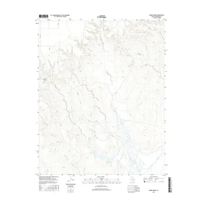
2016 Map of Adobe Creek
USGS Topo · Published 2016About this map
Adobe Creek flows through this corner of Hutchinson County, carving a path through the Texas Panhandle landscape where several drainages converge. The map highlights the local ranching geography, centered on the Turkey Track Ranch Reservoir which collects water from the nearby Bent Creek. This region is defined by its canyon systems and seasonal watercourses, including Waters Canyon and the W Fork Johns Cr, which indicate the complex natural drainage patterns of the high plains. A network of county roads, such as Co RD 23 and Co RD 22, provides access to these remote reaches, marking the human footprint upon a landscape primarily dedicated to large-scale ranching operations and water management in a semi-arid environment.
Find a feature on this map
11 named features on this map. Tap any name to fly to it.
Don’t see what you’re looking for? This feature index may not catch every label — zoom into the map to look around manually.
Map Details
Editions of this 2016 Adobe Creek Map
This is the sole edition of this map. No revisions or reprints were ever made.
Other maps of this area

1953 · Plemons
USGS Topo · 1:24,000

1953 · Stinnett Station
USGS Topo · 1:24,000

1954 · Perryton
USGS Topo · 1:250,000

1954 · Amarillo
USGS Topo · 1:250,000

1958 · Perryton
USGS Topo · 1:250,000

1958 · Amarillo
USGS Topo · 1:250,000

1971 · Adobe Creek SW
USGS Topo · 1:24,000

1971 · Garden Springs
USGS Topo · 1:24,000

1971 · Adobe Creek SE
USGS Topo · 1:24,000

1973 · Spearman SE
USGS Topo · 1:24,000