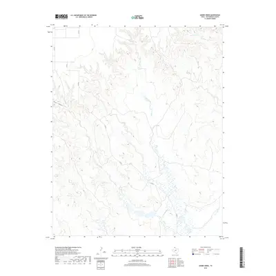
2019 Map of Adobe Creek
USGS Topo · Published 2019About this map
Adobe Creek and Bent Creek converge across this High Plains landscape in Hutchinson County, forming an intricate drainage system typical of the Texas Panhandle. The topography is defined by the sharp incisions of Waters Canyon and the winding course of the W Fork Johns Cr in the northeast. This 2019 survey illustrates the modern rural infrastructure of the region, where a network of county roads including Co RD 23 and Co RD 22 navigate the broken terrain. The map captures the specialized hydrology of the area, showing expansive wetland signatures along the lower creek beds that contrast with the surrounding arid uplands. This detailed record of contemporary land use and water resources is essential for understanding the environmental geography of the northern Panhandle.
Find a feature on this map
10 named features on this map. Tap any name to fly to it.
Don’t see what you’re looking for? This feature index may not catch every label — zoom into the map to look around manually.
Map Details
Editions of this 2019 Adobe Creek Map
This is the sole edition of this map. No revisions or reprints were ever made.
Other maps of this area

1953 · Plemons
USGS Topo · 1:24,000

1953 · Stinnett Station
USGS Topo · 1:24,000

1954 · Perryton
USGS Topo · 1:250,000

1954 · Amarillo
USGS Topo · 1:250,000

1958 · Perryton
USGS Topo · 1:250,000

1958 · Amarillo
USGS Topo · 1:250,000

1971 · Adobe Creek SW
USGS Topo · 1:24,000

1971 · Garden Springs
USGS Topo · 1:24,000

1971 · Adobe Creek SE
USGS Topo · 1:24,000

1973 · Spearman SE
USGS Topo · 1:24,000