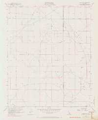
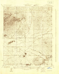
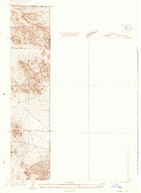
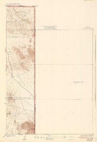
1955 Map of Adobe Mountain
USGS Topo · Published 1969About this map
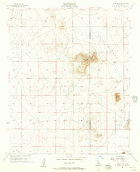
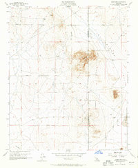
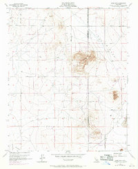
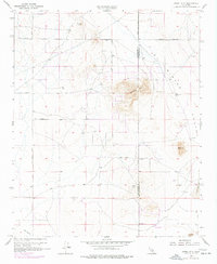
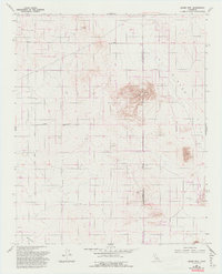
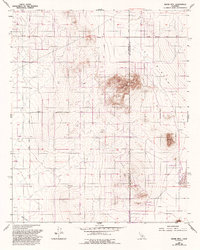
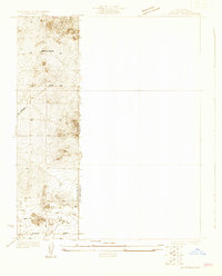
El Mirage Valley dominates this high desert landscape, captured here in the mid-1950s with later updates reflecting the area's development. The map follows the stark boundary between Los Angeles and San Bernardino counties, where an emerging grid of desert roads like Avenue G and El Mirage Road begins to define the territory. The topography is anchored by prominent elevations including Adobe Mtn, Nash Hill, and Gray Mtn, providing orientation points for early desert navigators. Significant for local historians and land researchers, the map identifies several Prospects and a specific Prospect, indicating the area's small-scale mining activity. Several small Landing Strips and a strategically placed Water Tank speak to the logistical challenges and aviation-centric growth of this arid region during the mid-century period.
Find a feature on this map
15 named features on this map. Tap any name to fly to it.
Don’t see what you’re looking for? This feature index may not catch every label — zoom into the map to look around manually.
Map Details
Editions of this 1955 Adobe Mountain Map
7 editions found
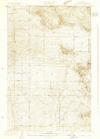
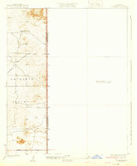
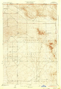
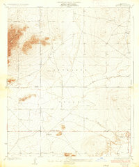
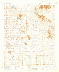
Other maps of this area
1930 · El Mirage
USGS Topo · 1:24,000
1930 · Wilsona
USGS Topo · 1:24,000
1931 · Adobe
USGS Topo · 1:24,000
1931 · Hi Vista
USGS Topo · 1:24,000
1933 · El Mirage
USGS Topo · 1:24,000
1934 · Adobe
USGS Topo · 1:24,000
1935 · Hi Vista
USGS Topo · 1:24,000
1935 · Wilsona
USGS Topo · 1:24,000
1937 · Shadow Mountains
USGS Topo · 1:48,000

1937 · Kramer
USGS Topo · 1:48,000