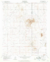
1955 Map of Adobe Mtn
USGS Topo · Published 1969About this map
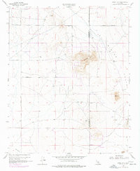
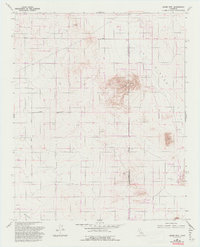
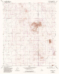
Adobe Mtn and the surrounding high desert terrain define this landscape at the boundary of Los Angeles and San Bernardino counties. This mid-century survey reveals a transition between the elevated peaks of the Shadow Mountains and the flat expanse of El Mirage Valley. Human activity is sparse but marked by early-stage resource extraction, evidenced by several Prospects and a lonely Prospect scattered throughout the foothills. The presence of multiple Landing Strip locations suggests the importance of aviation in this remote desert basin during the late 1950s and into the 1960s. To the south and east, the hydrology is dominated by the seasonal El Mirage Lake and the Eller Slough, illustrating the arid conditions and drainage patterns of the Mojave region before modern development patterns fully took hold. This edition incorporates 1968 revisions that track subtle changes in the road network, including El Mirage Road and Shadow Mountains Road.
Find a feature on this map
25 named features on this map. Tap any name to fly to it.
Don’t see what you’re looking for? This feature index may not catch every label — zoom into the map to look around manually.
Map Details
Editions of this 1955 Adobe Mtn Map
7 editions found
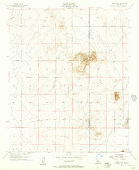
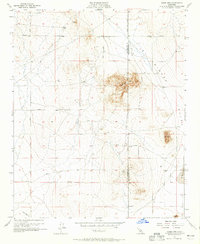
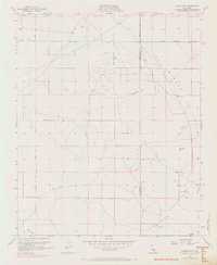
Other maps of this area

1930 · El Mirage
USGS Topo · 1:24,000

1930 · Wilsona
USGS Topo · 1:24,000

1931 · Adobe
USGS Topo · 1:24,000

1931 · Hi Vista
USGS Topo · 1:24,000

1933 · El Mirage
USGS Topo · 1:24,000

1934 · Adobe
USGS Topo · 1:24,000

1935 · Hi Vista
USGS Topo · 1:24,000
1935 · Wilsona
USGS Topo · 1:24,000

1937 · Shadow Mountains
USGS Topo · 1:48,000

1937 · Kramer
USGS Topo · 1:48,000