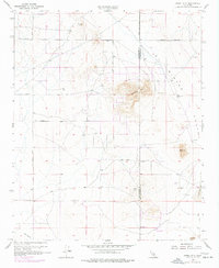
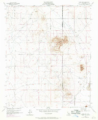
1955 Map of Adobe Mtn
USGS Topo · Published 1977About this map
El Mirage Valley serves as a stark desert landscape where the boundary between Los Angeles and San Bernardino counties cuts through a series of isolated peaks and dry lake beds. The prominent volcanic profile of Adobe Mtn and the neighboring Nash Hill dominate the central terrain, offering a clear view of the sparse settlement patterns in the High Desert during the mid-twentieth century. Transportation is defined by a rigid grid of graded paths such as East Avenue G and Shadow Mountains Road, while more localized aviation is represented by several isolated Landing Strips. Traces of small-scale mining activity appear as scattered prospects, particularly on the slopes of Gray Mtn and near the northern edge of the survey area. The presence of Eller Slough and various wells indicates the critical role of groundwater in this arid region, where the vast expanse of El Mirage Lake marks the eastern margin.
Find a feature on this map
18 named features on this map. Tap any name to fly to it.
Don’t see what you’re looking for? This feature index may not catch every label — zoom into the map to look around manually.
Map Details
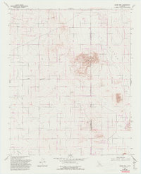
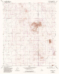
Editions of this 1955 Adobe Mtn Map
7 editions found
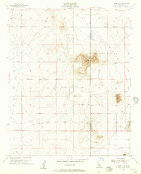
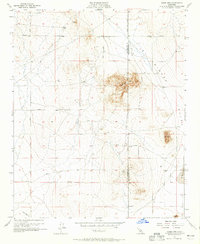
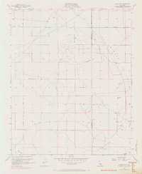
Other maps of this area

1930 · El Mirage
USGS Topo · 1:24,000

1930 · Wilsona
USGS Topo · 1:24,000

1931 · Adobe
USGS Topo · 1:24,000

1931 · Hi Vista
USGS Topo · 1:24,000

1933 · El Mirage
USGS Topo · 1:24,000

1934 · Adobe
USGS Topo · 1:24,000

1935 · Hi Vista
USGS Topo · 1:24,000
1935 · Wilsona
USGS Topo · 1:24,000

1937 · Shadow Mountains
USGS Topo · 1:48,000

1937 · Kramer
USGS Topo · 1:48,000