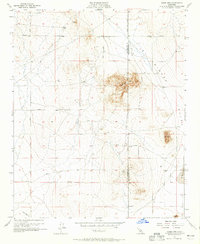
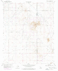
1955 Map of Adobe Mtn
USGS Topo · Published 1965About this map
Adobe Mtn and the neighboring Nash Hill define the high ground of this desert landscape, located along the boundary of Los Angeles and San Bernardino counties. The survey, based on field checks from the mid-1950s, reveals a terrain of dry lake beds and drainage patterns, including the notable El Mirage Lake and Eller Slough. The area's early 20th-century history is hinted at by scattered Prospects and the presence of a Water Tank, suggesting the persistence of small-scale mineral exploration and the infrastructure required to support activity in the arid El Mirage Valley. A rectilinear grid of roads, such as Avenue G and El Mirage Road, underscores the systematic surveying of the Mojave Desert as it was sectioned for development and access to the Shadow Mountains area.
Find a feature on this map
13 named features on this map. Tap any name to fly to it.
Don’t see what you’re looking for? This feature index may not catch every label — zoom into the map to look around manually.
Map Details
Editions of this 1955 Adobe Mtn Map
7 editions found
Other maps of this area

1930 · El Mirage
USGS Topo · 1:24,000

1930 · Wilsona
USGS Topo · 1:24,000

1931 · Adobe
USGS Topo · 1:24,000

1931 · Hi Vista
USGS Topo · 1:24,000

1933 · El Mirage
USGS Topo · 1:24,000

1934 · Adobe
USGS Topo · 1:24,000

1935 · Hi Vista
USGS Topo · 1:24,000
1935 · Wilsona
USGS Topo · 1:24,000

1937 · Shadow Mountains
USGS Topo · 1:48,000

1937 · Kramer
USGS Topo · 1:48,000