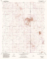
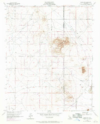
1955 Map of Adobe Mtn
USGS Topo · Published 1993About this map
Adobe Mtn and the surrounding Mirage Valley define this landscape on the boundary of Los Angeles and San Bernardino counties. Originally surveyed in the mid-1950s with updates through the early 1990s, the map reveals a transition from remote desert outposts to a specialized recreation zone. The high-desert terrain is marked by isolated Prospect sites and several Landing Strips, reflecting the region's aviation and mining history.
Find a feature on this map
19 named features on this map. Tap any name to fly to it.
Don’t see what you’re looking for? This feature index may not catch every label — zoom into the map to look around manually.
Map Details
Editions of this 1955 Adobe Mtn Map
7 editions found
Other maps of this area

1930 · El Mirage
USGS Topo · 1:24,000

1930 · Wilsona
USGS Topo · 1:24,000

1931 · Adobe
USGS Topo · 1:24,000

1931 · Hi Vista
USGS Topo · 1:24,000

1933 · El Mirage
USGS Topo · 1:24,000

1934 · Adobe
USGS Topo · 1:24,000

1935 · Hi Vista
USGS Topo · 1:24,000
1935 · Wilsona
USGS Topo · 1:24,000

1937 · Shadow Mountains
USGS Topo · 1:48,000

1937 · Kramer
USGS Topo · 1:48,000