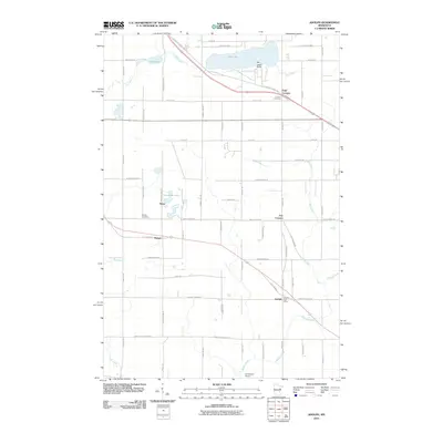
2010 Map of Adolph
USGS Topo · Published 2010About this map
Adolph and its vital Adolph Post Office anchor the southeastern corner of this Saint Louis County landscape, where the Midway River winds through a network of rural settlements. The area is defined by its small-town hubs like Munger, Simar, and the descriptive junctions of Four Corners and Five Corners. These communities are connected by historic corridors such as the Old Miller Trunk Hwy and Old Highway 2, reflecting a transportation pattern that serves both residential needs and the natural resources surrounding Pike Lake and Mud Lake. For genealogists and local historians, the presence of Canosia Cemetery and Solway Cemetery near these early settlements offers critical points of reference for tracing family roots. The terrain is further characterized by the northern flow of the Pine River and the distinctive Ne-i-ash-i Point on the shores of Pike Lake.
Find a feature on this map
33 named features on this map. Tap any name to fly to it.
Don’t see what you’re looking for? This feature index may not catch every label — zoom into the map to look around manually.
Map Details
Editions of this 2010 Adolph Map
This is the sole edition of this map. No revisions or reprints were ever made.
Other maps of this area

1895 · Duluth
USGS Topo · 1:62,500

1915 · Superior
USGS Topo · 1:48,000

1917 · Superior
USGS Topo · 1:62,500

1953 · Twig
USGS Topo · 1:24,000

1953 · Saginaw
USGS Topo · 1:24,000

1953 · Adolph
USGS Topo · 1:24,000

1953 · Duluth Heights
USGS Topo · 1:24,000

1953 · Fredenberg
USGS Topo · 1:24,000

1953 · Independence
USGS Topo · 1:24,000

1953 · Duluth
USGS Topo · 1:62,500