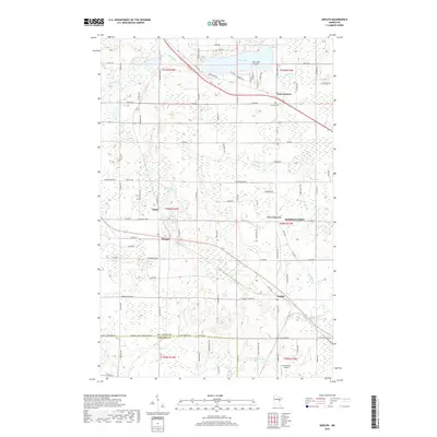
2019 Map of Adolph
USGS Topo · Published 2019About this map
The Midway River and Pine River drainage systems define the landscape of this region west of Duluth, where rural settlements and crossroads communities have persisted for generations. In the late 2010s, Hermantown and Adolph serve as focal points for a network of county roads including Co Rd 849 and Old Hwy 2. The map details important local landmarks such as Canosia Cem and Solway Cem, which offer significant value for genealogical research. Small aviation history is preserved at Lennartson Airport in the south, while recreational and residential clusters are visible around Pike Lake, including the distinctive Ne-i-ash-i-Point. This survey illustrates the transition from the denser settlement of Five Corners to the more open wetlands and lakes like Mud Lake and Horseshoe Lake near Simar and Munger.
Find a feature on this map
55 named features on this map. Tap any name to fly to it.
Don’t see what you’re looking for? This feature index may not catch every label — zoom into the map to look around manually.
Map Details
Editions of this 2019 Adolph Map
This is the sole edition of this map. No revisions or reprints were ever made.
Other maps of this area

1895 · Duluth
USGS Topo · 1:62,500

1915 · Superior
USGS Topo · 1:48,000

1917 · Superior
USGS Topo · 1:62,500

1953 · Twig
USGS Topo · 1:24,000

1953 · Saginaw
USGS Topo · 1:24,000

1953 · Adolph
USGS Topo · 1:24,000

1953 · Duluth Heights
USGS Topo · 1:24,000

1953 · Fredenberg
USGS Topo · 1:24,000

1953 · Independence
USGS Topo · 1:24,000

1953 · Duluth
USGS Topo · 1:62,500