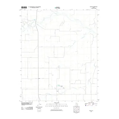
2010 Map of Afton
USGS Topo · Published 2010About this map
Afton and the neighboring settlement of Glenn anchor this portion of the Texas Panhandle as it appeared in the early 21st century. The landscape is defined by the drainage networks of the Tongue River to the north and Cottonwood Creek to the south. Local water management is evident in the presence of Patton Springs-Lake Lucretia and Campbell Dam, which regulate the intermittent flow of desert streams. For genealogists and local historians, the Afton Cemetery provides a primary point of reference for families rooted in Dickens County. The terrain transitions from the headwaters at Roaring Spring and Seale Lake through a grid of county roads, such as Co RD 237 and Co RD 110, which connect the rural homesteads and agricultural plots of this high plains region.
Find a feature on this map
33 named features on this map. Tap any name to fly to it.
Don’t see what you’re looking for? This feature index may not catch every label — zoom into the map to look around manually.
Map Details
Editions of this 2010 Afton Map
This is the sole edition of this map. No revisions or reprints were ever made.
Other maps of this area

1954 · Lubbock
USGS Topo · 1:250,000

1967 · Dickens North
USGS Topo · 1:24,000

1967 · Haystack Mountain
USGS Topo · 1:24,000

1968 · East Afton
USGS Topo · 1:24,000

1968 · Mac Bain
USGS Topo · 1:24,000

1968 · Roaring Springs
USGS Topo · 1:24,000

1968 · Russellville
USGS Topo · 1:24,000

1968 · Rustler Camp
USGS Topo · 1:24,000

1968 · Sanders Hollow
USGS Topo · 1:24,000

1968 · Afton
USGS Topo · 1:24,000